
How Drone Aerial Mapping and Photogrammetry Are Transforming Civil Engineering in New Zealand
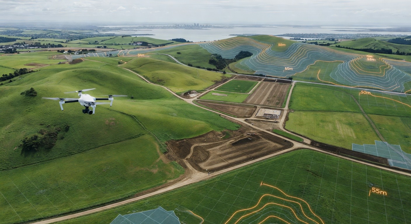
The way civil and land development engineers survey, plan and monitor projects has changed dramatically over the past few years. Drone aerial mapping and photogrammetry — once the preserve of large-scale infrastructure projects with deep pockets — are now standard tools in the kit of forward-thinking engineering firms across New Zealand. At Flowpath, we've seen firsthand how this technology is delivering faster, safer and more accurate outcomes for our clients across Auckland and the wider region.
What Is Drone Photogrammetry?
Photogrammetry is the science of extracting precise measurements and three-dimensional data from photographs. When you combine that with an Uncrewed Aerial Vehicle (UAV) — commonly called a drone — you get a powerful surveying method that can capture thousands of overlapping images of a site in a fraction of the time a traditional ground survey would take.
Software platforms such as Pix4D, DJI Terra, and Agisoft Metashape then process these images to produce a range of deliverables:
- Orthomosaic maps — high-resolution, geometrically corrected aerial images stitched together into a single plan-view map
- Digital Elevation Models (DEMs) and Digital Surface Models (DSMs) — detailed terrain and surface data accurate to within a few centimetres
- 3D point clouds — dense datasets that can be imported directly into CAD and BIM environments
- Contour plans — automatically generated from the DEM and suitable for engineering design
Why It Matters for Land Development and Three Waters
For civil engineers working in subdivision, land development, and Three Waters infrastructure, accurate topographical data is the foundation of every design decision. Traditional surveying methods — while still essential in many circumstances — can be time-consuming, expensive on large sites, and sometimes dangerous on difficult terrain.
Drone mapping addresses many of these challenges head-on:
Speed and coverage: A drone can survey a 10-hectare greenfield site in a single flight lasting under an hour. The same survey by a ground crew could take days. For developers working to tight programme schedules in Auckland's competitive land market, this time saving is significant.
Stormwater and catchment analysis: Accurate DEMs from drone surveys allow engineers to undertake detailed catchment delineation and overland flow path analysis. Understanding how water moves across a site before a spade goes in the ground is critical for designing compliant stormwater management systems under Auckland Unitary Plan requirements.
Construction monitoring: Regular drone surveys throughout a construction project provide a reliable record of earthworks progress, cut and fill volumes, and as-built surface levels. This is invaluable for contract management, dispute resolution, and meeting consent conditions.
Difficult and hazardous sites: Steep gullies, flood-prone areas, or sites with limited vehicle access are challenging for ground surveyors but pose no issue for a drone. This is particularly relevant across much of Auckland's hilly terrain and coastal environments.
Ground Control Points and Accuracy
One of the most common questions we receive from clients is: just how accurate is drone survey data? The honest answer is that it depends heavily on how the survey is set up.
For engineering-grade accuracy, Ground Control Points (GCPs) — precisely located markers placed on the ground and surveyed using GNSS equipment — are essential. GCPs are identified in the drone imagery and used to georeference and correct the photogrammetric model. With good GCP coverage and a capable GNSS receiver, horizontal accuracies of 20–30mm and vertical accuracies of 30–50mm are routinely achievable. Some RTK (Real-Time Kinematic) and PPK (Post-Processed Kinematic) drone systems can approach similar accuracies with fewer or no GCPs, though independent checkpoints are still best practice.
For resource consent applications, flood assessments, and hydraulic modelling inputs, achieving and documenting this level of accuracy is non-negotiable.
Regulatory Considerations in New Zealand
Drone operations in New Zealand are governed by the Civil Aviation Authority (CAA) under Part 102 and Part 101 of the Civil Aviation Rules. Commercial operators conducting survey work will typically need a Part 102 operator certificate, and flights in controlled airspace — which covers large parts of the Auckland region — require airspace authorisation through the CAA's Airshare platform or directly with Airways New Zealand.
It's important that engineering firms either employ certified drone operators or engage specialist survey subcontractors who hold the appropriate certifications. Flying without the correct authorisation can void insurance, invalidate data, and carry significant legal consequences.
Integration with BIM and Engineering Workflows
One of the most exciting developments in recent years is how seamlessly drone survey data integrates with modern BIM and CAD platforms. Point clouds and DEMs can be imported directly into Civil 3D, 12d Model, and Revit, allowing designers to work with a highly accurate digital twin of the existing site conditions from day one.
This integration reduces the risk of design errors caused by inaccurate base data, improves collaboration between disciplines, and supports the production of more detailed and defensible engineering documentation — benefits that flow through to better resource consent outcomes and smoother construction delivery.
Looking Ahead
Drone technology continues to evolve rapidly. LiDAR payloads — which use laser pulses rather than cameras to capture point cloud data — are becoming more accessible and can penetrate vegetation canopy to capture bare-earth terrain models in heavily vegetated sites. Multispectral sensors, thermal imaging, and AI-driven change detection are also opening new applications in environmental monitoring and infrastructure inspection.
For civil and land development engineering in New Zealand, drone aerial mapping and photogrammetry are no longer a novelty — they are a core part of how high-quality, efficient engineering gets done. At Flowpath, we're committed to leveraging these tools to deliver better outcomes for our clients across every stage of the project lifecycle.