
PC120 Explained: What Auckland's Proposed Plan Change Means for Flood Risk and Land Development
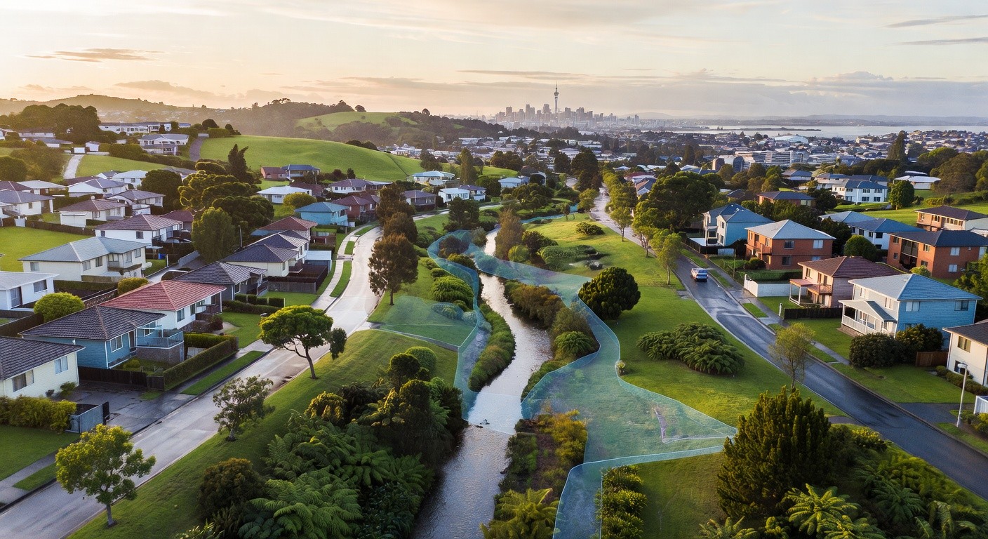
The devastating Auckland Anniversary Weekend floods of January 2023 and Cyclone Gabrielle left an indelible mark on the region — not just physically, but legislatively. Auckland Council's response, Proposed Plan Change 120 (PC120) to the Auckland Unitary Plan (AUP), represents the most significant overhaul of flood risk planning rules the region has seen in years. For developers, landowners, and civil engineers, understanding PC120 isn't optional — it's essential.
What Is PC120?
PC120 is Auckland Council's proposed amendment to the operative Auckland Unitary Plan, specifically targeting natural hazard risk — with a sharp focus on flooding. Triggered by the catastrophic losses experienced during the 2023 flood events, which resulted in deaths, hundreds of red-stickered homes, and billions of dollars in damage, PC120 seeks to embed more robust flood risk considerations directly into the planning framework that governs how and where development can occur across the Auckland region.
At its core, PC120 introduces new and revised overlays, policies, and rules that apply to land identified as being at risk from floodplains, overland flow paths, and coastal inundation. The plan change works alongside Auckland Council's ongoing flood plain mapping programme, which has been significantly accelerated post-2023.
Key Changes Affecting Developers and Engineers
Expanded and Updated Flood Overlay Mapping
One of the most immediately impactful elements of PC120 is the expansion and refinement of flood-related overlays in the AUP. These include the Flood Plain Management Area (FPMA), the Overland Flow Path (OFP) overlay, and coastal flooding extents. As updated hydraulic modelling and LiDAR data are incorporated, many properties that previously sat outside these overlays now fall within them — potentially changing their development potential overnight.
For subdivision and land development projects, this means due diligence prior to site acquisition or design has never been more important. A site assessment that was valid two years ago may now be materially out of date.
Stricter Consent Requirements
PC120 tightens the resource consent pathway for activities within or adjacent to flood risk areas. Development that may have previously been permitted or controlled under the AUP can now require discretionary or non-complying consent status in flood-sensitive locations. This has significant implications for:
- Residential subdivision in greenfield and brownfield areas
- Infill housing and multi-unit developments
- Commercial and industrial site development
- Earthworks and impervious surface coverage
Consent applicants will need to demonstrate that their development does not exacerbate flood risk — to the site itself, adjacent properties, or downstream catchments. This typically requires detailed hydraulic modelling, flood risk assessments, and engineered mitigation as part of the application.
Minimum Floor Level and Freeboard Requirements
PC120 introduces or reinforces prescriptive requirements around minimum habitable floor levels and freeboard above modelled flood depths. These requirements are directly tied to the updated flood modelling datasets, meaning that floor level certificates and engineering sign-offs must now reference the latest available data. For residential construction in particular, this may require finished floor levels to be raised significantly compared to what topography alone might suggest — affecting building design, structural costs, and earthworks volumes.
Overland Flow Path Protections
The plan change strengthens protections for overland flow paths — the routes stormwater naturally takes across the land surface during heavy rainfall events. Development that obstructs, narrows, or redirects these paths will face increased scrutiny. Engineers designing site layouts must now carefully integrate OFP management into their designs, including open space buffers, flow-through landscaping, or engineered conveyance channels where necessary.
Implications for the Resource Consent Process
PC120 fundamentally changes the risk profile of many development sites across Auckland. Applicants can expect:
- Longer consent timeframes as councils assess flood risk more rigorously
- Greater information requirements at lodgement, including hydraulic modelling reports, site-specific flood assessments, and stormwater management plans
- Increased likelihood of requests for further information (RFIs) if flood risk has not been comprehensively addressed
- Potential third-party submissions from affected neighbours or infrastructure providers
For developers working to programme timelines, this reinforces the importance of engaging qualified civil and hydraulic engineers early — ideally at the feasibility stage, before land purchase decisions are made.
What This Means for Three Waters Infrastructure
PC120 doesn't exist in isolation. It intersects directly with Auckland Council's Three Waters infrastructure planning, particularly around stormwater network capacity and the integration of water sensitive urban design (WSUD) principles. Developments in flood-sensitive areas will increasingly be required to demonstrate stormwater neutrality or betterment — meaning new impervious surfaces must be offset through detention, infiltration, or attenuation measures.
This creates both challenge and opportunity for engineers. Good stormwater design isn't just about compliance — it's about delivering resilient infrastructure that protects communities for decades to come.
Practical Steps for Developers and Landowners
If you own or are considering purchasing land in the Auckland region, here's what we recommend:
- Check the latest AUP overlays — including any operative or proposed plan change provisions — before committing to a site.
- Commission a flood risk pre-assessment early in your project lifecycle to identify constraints and opportunities.
- Engage an experienced civil engineer who understands the evolving PC120 provisions and Auckland Council's flood modelling datasets.
- Build consent timeframes and mitigation costs into your project programme and budget from day one.
- Stay across the PC120 hearings process — the plan change is still evolving, and submission and appeal outcomes may continue to refine its provisions.
Looking Ahead
PC120 represents a genuine shift in how Auckland approaches flood risk in land use planning. While the additional requirements add complexity and cost to the development process, they ultimately reflect the hard lessons of 2023 — that building in flood-vulnerable areas without robust safeguards comes at a devastating human and economic cost.
For the engineering and development sector, adapting to PC120 is not a burden to be minimised — it's a professional responsibility to be embraced. Better planning, better design, and better-informed decision-making will make Auckland communities more resilient for generations to come.