
Fast turnaround!

Flood Reports & Overland Flow Path Assessments

Understand the flood risk. Know your next step.

Planning a development, buying a property, or responding to a council request? Flowpath provides flood reports and overland flow path assessments for projects across New Zealand.

We explain how water moves through your site, what it means for your plans, and the practical options available. Our experienced engineers combine advanced in-house tools with hydraulic modelling to provide a fast turnaround and clear reports for council review.

Based in Auckland, we work with homeowners, developers, architects, planners and surveyors on urban and rural projects.

When you might need a flood assessment

Flooding can affect where you build, how high the floor needs to be, where water can pass, and how a development affects neighbouring properties. Understanding those constraints early helps you make informed design and purchase decisions.

We can help when:

  • Council has requested a flood report or further information for a resource consent or building consent.
  • A floodplain, flood-prone area or overland flow path is shown on council mapping or a LIM.
  • You are planning a new dwelling, extension, subdivision or commercial development.
  • Proposed earthworks, retaining walls, fences or accessways could alter the way water moves.
  • You are buying a property and want advice on the flood information available.
  • Flooding has occurred and you need to understand the likely causes and options for improvement.

Send us the site address and a brief description of what you are planning. We can help identify the appropriate assessment.

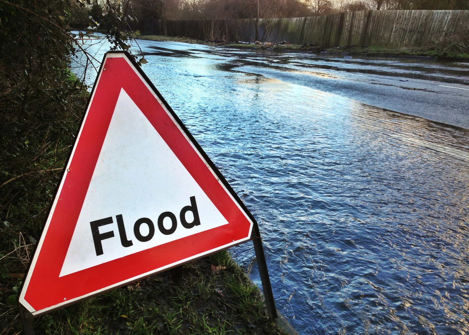
Flood warning sign beside a flooded road
Flooding can affect access, buildings and neighbouring properties.

The right assessment for your site

The scope depends on the question you need answered, the site conditions and the information available. Some sites need a focused overland flow path assessment. Others need more detailed flood modelling.

Property advice

Initial property and development advice

An initial review can help you understand the available flood information before you commit to a purchase or progress a design.

We review the available mapping, property information and proposed works, identify the main constraints, and explain where further investigation may be needed. We also clarify whether a formal report, survey or detailed model is required for your next step.

Overland flow paths

Overland flow path assessments

An overland flow path is a route water takes across the ground during heavy rainfall. A line on a council map indicates a route, but it does not show the full width or depth of water passing through a particular site.

We assess the contributing catchment, expected flow and the capacity of the route through or alongside your property. Depending on the site, this can include cross-sections, estimated water levels, flow depths and velocities, and the relationship to proposed buildings, floor levels, walls and accessways.

The assessment sets out the space needed for water to pass and any design changes or further work required.

Flood modelling

Flood risk reports and detailed modelling

Where water spreads across a site, ponds, passes through a constriction or interacts with surrounding development, detailed modelling may be appropriate.

We use hydraulic modelling, including HEC-RAS 2D where suitable, to investigate flood extents, levels, depths, velocities and hazard. We can compare existing and proposed conditions, assess effects on surrounding land, and test practical mitigation options.

The modelling approach and reporting are tailored to the project and relevant council requirements, including the applicable rainfall and climate change assumptions.

What your report can include

We agree the scope before starting. Depending on the assessment, your report can include:

  • A clear description of the site, proposed works and purpose of the assessment.
  • A review of available council flood information, terrain data and survey information.
  • Catchment assessment and rainfall-runoff calculations.
  • Flood mapping or overland flow path plans and cross-sections.
  • Assessment of water levels, flow depths, velocities and relevant flood hazards.
  • Advice on floor levels, freeboard (the allowance above the assessed flood level), and space for water to pass.
  • Comparison of existing and proposed conditions, including effects on neighbouring properties.
  • Practical recommendations for the design, mitigation measures or further investigation.

The report records the information used, assumptions and relevant limitations so the findings can be understood by your design team and council reviewer.

Advanced in-house tools, experienced engineers

We have developed our own software to speed up flood assessment, calculations and reporting.

Our tools support terrain and catchment analysis, rainfall inputs, hydraulic calculations, model preparation and results review. They help us compare design options and bring the supporting information together clearly.

We use these tools alongside established modelling software. Our engineers select the assessment method, check the inputs and results, and interpret what the findings mean for your project.

For you, this means a quick turnaround, clear communication and practical advice as the design develops.

Fast turnaround to keep your project moving

We provide a fast turnaround on flood reports and overland flow path assessments. Our in-house tools help us move efficiently from site information to calculations, modelling and a clear report.

Tell us about your consent deadline, purchase condition or design milestone. We will confirm the earliest available delivery date when we agree the scope. Straightforward assessments can progress quickly with complete survey and plans; detailed modelling or additional site work may need more time.

Carey Senior, Chartered Professional Engineer
Carey SeniorCPEng, CMEngNZ

Experience with council review

Flowpath is led by Carey Senior, a Chartered Professional Engineer (CPEng, CMEngNZ) with more than 20 years of civil engineering experience.

Carey's work includes development design, council peer review and expert witness work relating to stormwater and flooding. That experience informs how we prepare reports: a clear assessment basis, supporting calculations and recommendations that address the project and the questions likely to arise during review.

We work with your architect, planner, surveyor and other consultants to resolve engineering issues as the design progresses. Where included in our scope, we also assist with council requests for further information and technical discussions.

How we work

  1. Send us the site information.

    Start with the address, what you are planning and any council comments. Include plans and survey information if available.

  2. We confirm the scope, fee and turnaround.

    We identify the assessment needed, explain any additional information required and agree a prompt delivery programme.

  3. We assess the site and discuss the findings.

    We review the information, carry out the calculations or modelling, and raise material constraints or design options with you.

  4. We prepare the report and agreed supporting information.

    You receive the findings and recommendations for your next step, with any further design or council response work identified clearly.

Auckland expertise, projects across New Zealand

Our team is based in Auckland and works on projects across New Zealand, including Hamilton and Waikato, Gisborne and Tairāwhiti, and the Bay of Plenty.

We establish the assessment requirements for the site's location and the purpose of the report. The scope also reflects the available council information, terrain data and survey, with site visits and local survey support arranged where needed.

Common questions

Every site is different. Start with the information you have and we can help identify the next step.

Does a mapped overland flow path mean I cannot build?

Not necessarily. It identifies a matter that needs to be assessed. The implications depend on the flow route, depth, velocity, proposed works and applicable requirements. An assessment helps establish whether the proposal is workable and what changes or further investigations may be needed.

Is the council flood map enough?

Council mapping is a useful starting point. It does not necessarily resolve the detailed conditions at your property or account for the proposed building layout and site features. A site-specific assessment considers the information needed for your particular decision or consent application.

What is the difference between an OLFP assessment and a flood report?

An overland flow path assessment focuses on how water passes through or alongside a site, including the route's capacity and its relationship to proposed works. A flood risk report may examine a wider range of flooding issues, including inundation, ponding, hazard and effects on surrounding properties. The appropriate scope depends on the site and the question being asked.

Do you need a topographical survey?

Often, particularly where the assessment depends on floor levels, kerbs, walls, channels or small differences in ground level. Available terrain data can assist an initial review, but it may not capture the detail needed for a design or consent assessment. We will confirm the survey information required when scoping the work.

How long does an assessment take?

We provide a quick turnaround, supported by our in-house tools and experienced engineers. Timing depends on the assessment scope and the survey, plans and other information available. Send us your site details and deadline, and we will confirm the earliest available delivery date before you engage us.

How much does a flood report cost?

The fee depends on the assessment required, the size and complexity of the catchment, available information, site work and modelling. Send us the property address, plans and any council request so we can provide a fee proposal for the appropriate scope.

Can you help with council questions after the report is submitted?

Yes. We can assist with technical queries, requests for further information and design changes. Our proposal will explain the response support included and how any additional work will be handled.

Can an overland flow path be moved?

Sometimes, but it needs careful assessment. Changing a flow route can affect buildings, accessways and neighbouring properties. We can investigate the options and identify the engineering work and any council approvals that may be required.

Do you work outside Auckland?

Yes. We undertake flood and civil engineering work across New Zealand. We confirm the local assessment requirements and available information before agreeing the scope.

See our work at the Riverhead site

A site-specific flood assessment for a 19-lot lifestyle subdivision, with report figures and site photographs.

Read the Riverhead case study

Need stormwater design as well?

We can coordinate drainage, detention, soakage and stormwater management with your flood assessment.

Explore our stormwater services

Discuss your site

Need a quick turnaround? Send us the property address, a brief description of your plans and any council comments. Include your deadline so we can help keep things moving.

We will review the information promptly and confirm the scope, fee and earliest available delivery date.

021 931 387admin@flowpath.co.nz
Flowpath Engineering Consultants
1/100 Bush Road
Rosedale, Auckland 0632

Tell us about your site

Need it quickly? Tell us your deadline below. Fields marked * are required.

Flood assessment enquiry

Have plans, a survey or council comments? Email them to us with the property address.